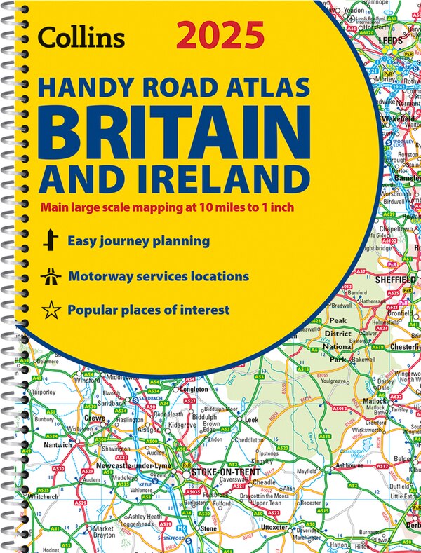
Home
2025 Collins Road, Map of Britain by Collins, Maps | Indigo Chapters
Loading Inventory...
Coles
2025 Collins Road, Map of Britain by Collins, Maps | Indigo Chapters
From Collins Maps
Current price: $11.99

Coles
2025 Collins Road, Map of Britain by Collins, Maps | Indigo Chapters
From Collins Maps
Current price: $11.99
Loading Inventory...
Size: 9 x 238 x 130
*Product information may vary - to confirm product availability, pricing, shipping and return information please contact Coles
Explore Britain with easy-to-read mapping from Collins. Full-colour, double-sided road map of Great Britain at a scale of 8.7 miles to 1 inch. Northern England, Scotland and the Isle of Man are on one side with Southern England and Wales on the other. With its easily identifiable counties and unitary authorities, this map is ideal for business users but it is also perfect for tourists for route planning. Main features:Fully updatedCounties and local council areas shown in colourClear, detailed road networkTown and city names, rivers, railway lines and canals are clearly shown16 city/town centre street plansIndex to place namesMileage chartCar ferry routesKey in English, French and German | 2025 Collins Road, Map of Britain by Collins, Maps | Indigo Chapters